

|
|
|
GRASS
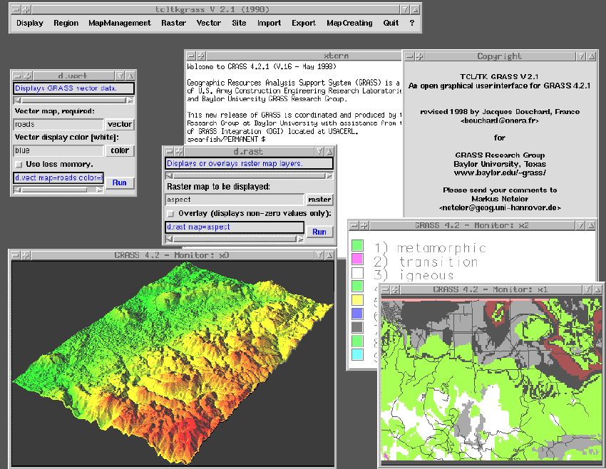
GRASS is a product of the US Army Corps of Engineers Construction Engineering Research Laboratories (USACERL), in Champaign, IL. It is an integrated set of programs designed to provide digitizing, image processing, map production, and geographic information system capabilities to its users.
|
|
Current Version: 5.0beta4
License Type: GPL
|
|
Home Site:
Source Code Availability: Yes (88MB unpacked)
Available Binary Packages:
Targeted Platforms: Software/Hardware Requirements:
|
|
Other Links:
Mailing Lists/USENET News Groups: User Comments:
|
 SAL Home
|
SAL Home
|  Computer Graphics, Images & Signals
|
Computer Graphics, Images & Signals
|  Geographic Information Systems